The challenge
- Decision-makers increasingly rely on geospatial data, but it is often fragmented, outdated, or incompatible across sources.
- Managing large volumes of aerial, satellite, and sensor data typically requires complex infrastructure and specialized expertise.
These challenges delay time-sensitive insights and create inefficiencies in monitoring natural resources, infrastructure, and regional operations.
The Solution
The Digital 4D Model is a cloud-based geoinformation platform designed to handle the full lifecycle of geospatial data.
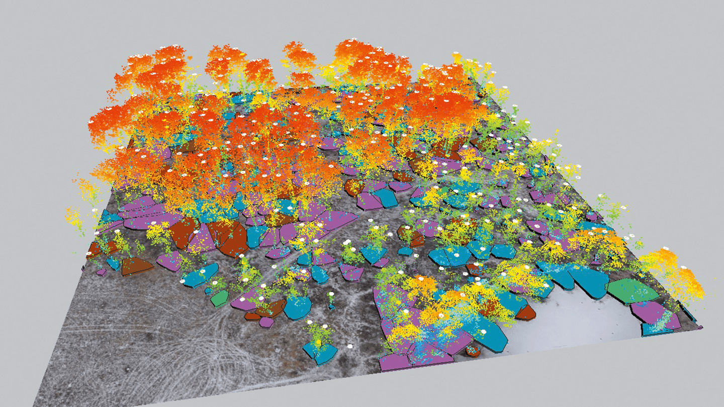
It unifies acquisition, processing, storage, and management of data from UAVs, satellites, remote sensing systems, and other big data streams as regional resources in near real time.
- The platform delivers advanced services ranging from photogrammetry and precision agriculture support to monitoring of forests, conservation zones, and extended infrastructure such as pipelines, power lines, and rail networks.
- By providing seamless integration and scalable computing power, it transforms raw geodata into dynamic, interactive models of the territory.
Impact
- Reduced the cost and complexity of field inspections, improved forecasting accuracy, and strengthened operational planning.
- Enabled continuous oversight of natural and industrial assets, supporting sustainable land use and infrastructure resilience.
- Provided a geospatial foundation for precision agriculture, ecosystem management, and data-driven urban development.
Industrial Directions
The Digital 4D Model serves as a strategic tool for turning complex geospatial information into actionable, high-value decisions.
- Agriculture
- Forestry
- Environmental monitoring
- Urban planning
- Energy infrastructure
- Transport logistics
- Agriculture, Energy, Environmental & Sustainability, Forestry, Geospatial Analytics, Infrastructure, Public Sector, Transportation, Urban Planning, Utilities